April 8, 2023 - Funfly Cambridge Area
|
|
Today was one of those flights when I wanted to go flying but didn't know where I'd be going. I ended up cruising south and flying around the Cambridge area. I just flew wherever it looked interesting. It ended up being a very enjoyable 1.5 hour flight.
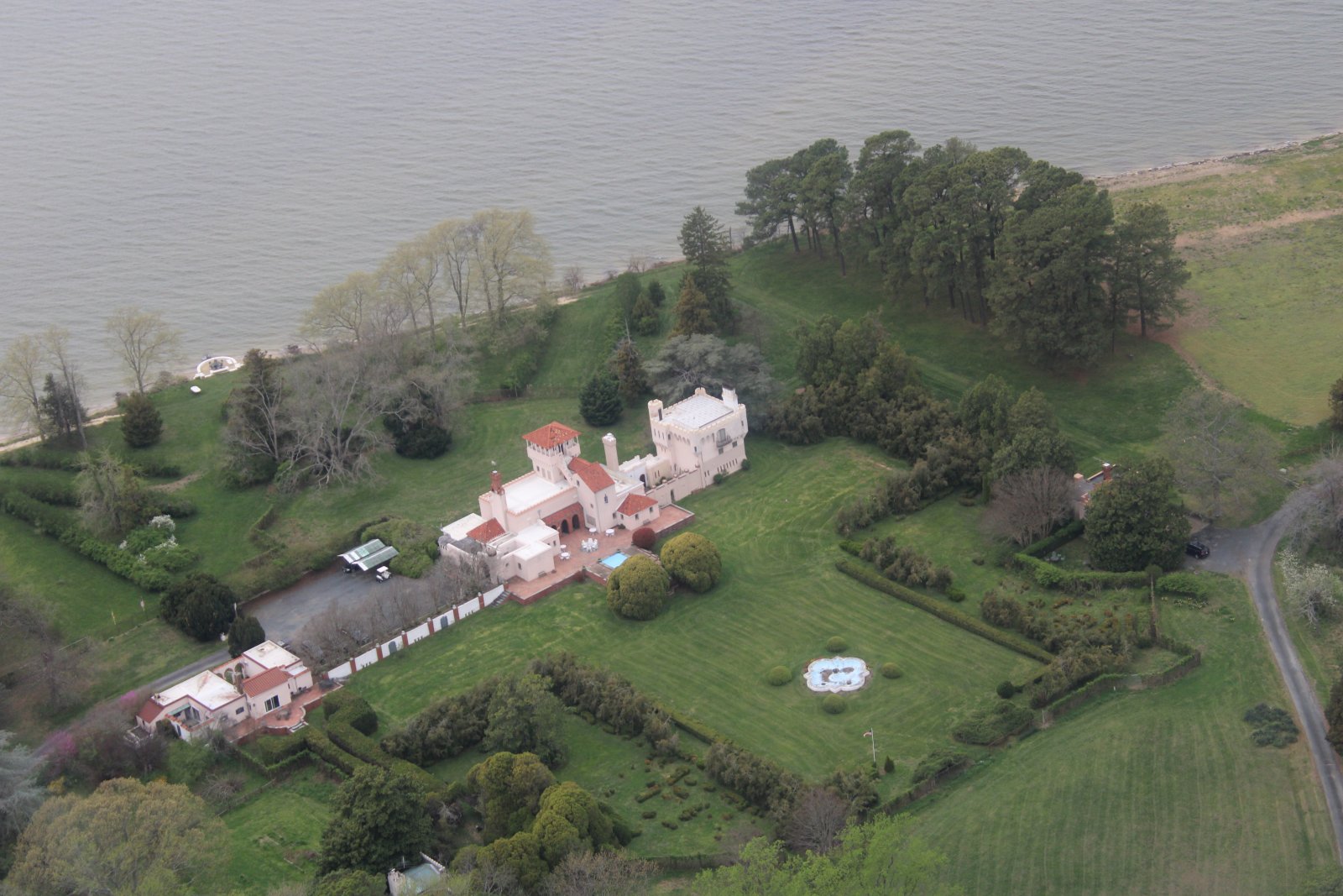
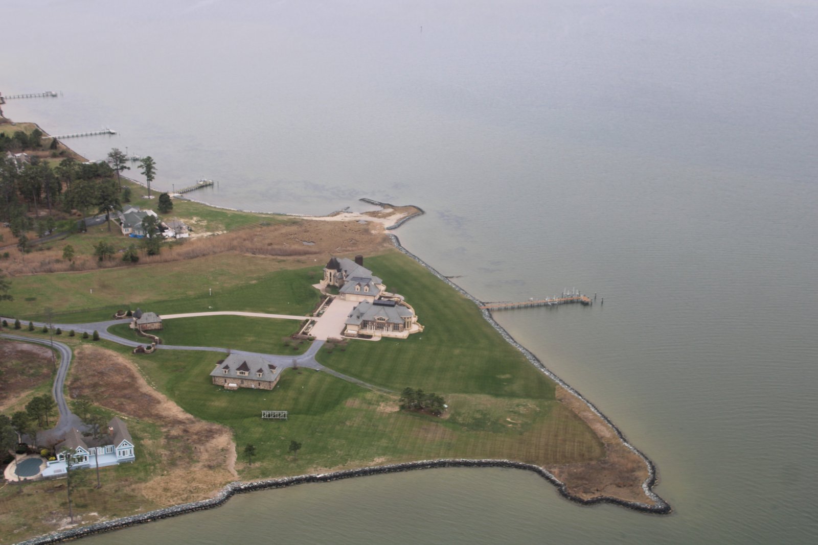
For example, this house overlooking the Miles River looked very much like a medieval castle.
|
| |
 |
|
|
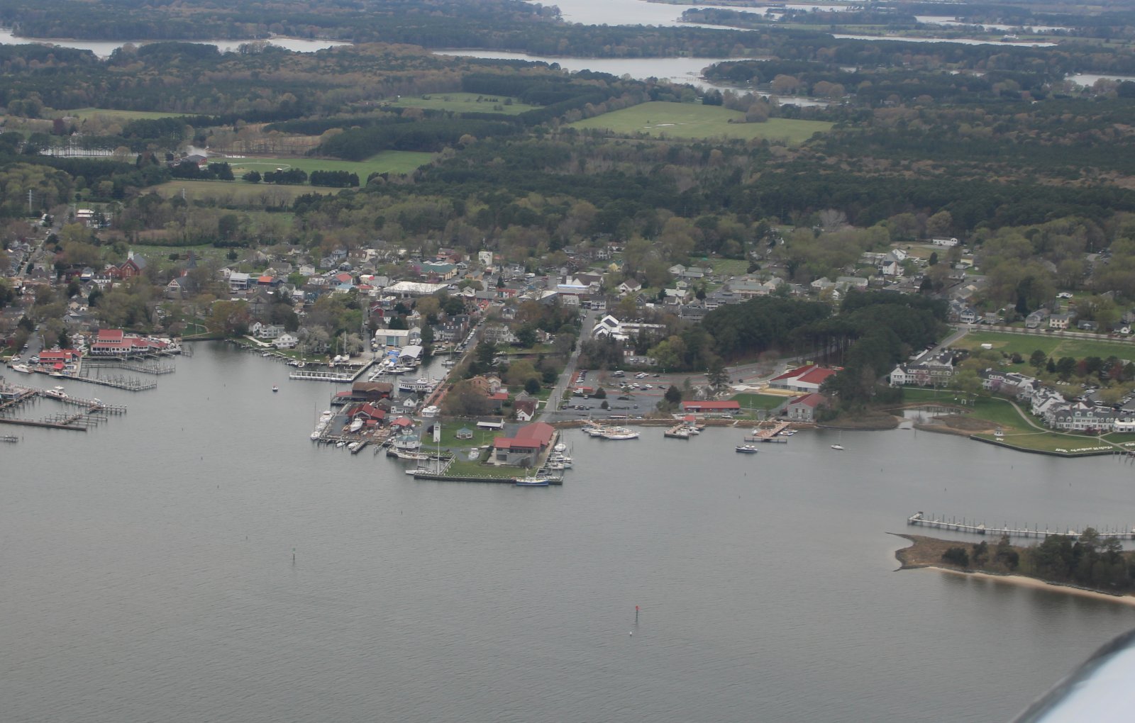
On the other side of the river was the quaint little town of St. Michaels.
|
| |
 |
|
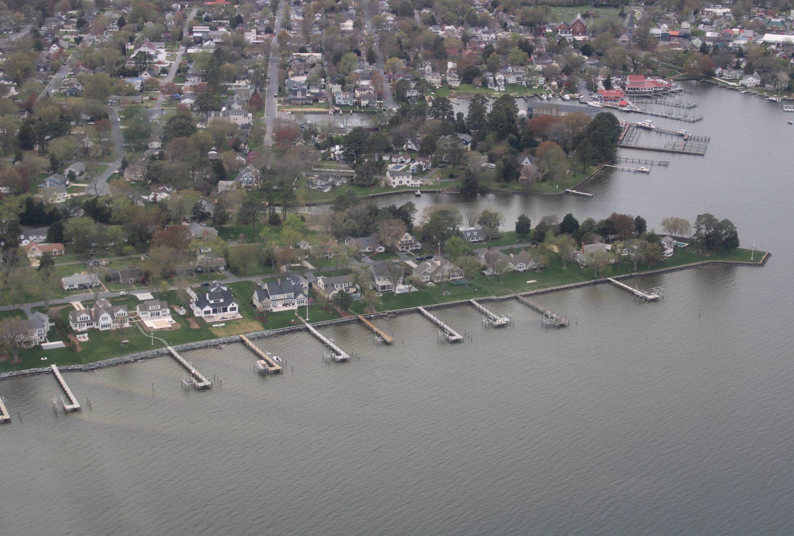
| Some nice saterfront homes just outside St. Michaels. |
| |
 |
|
|
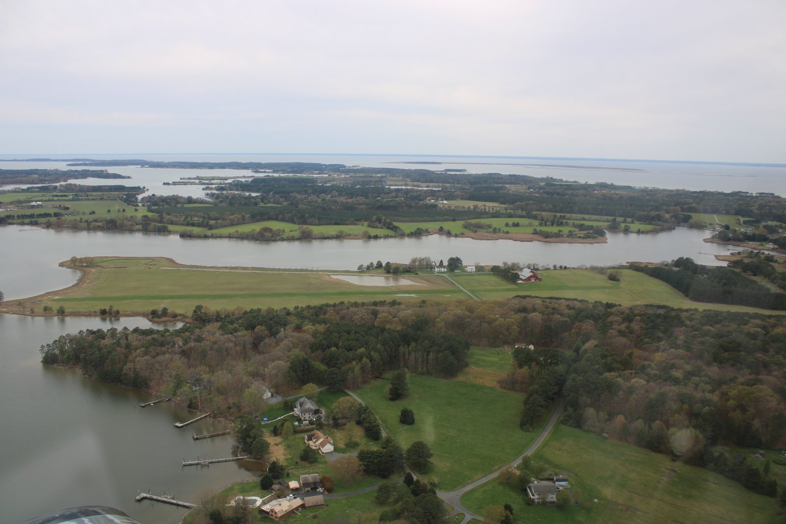
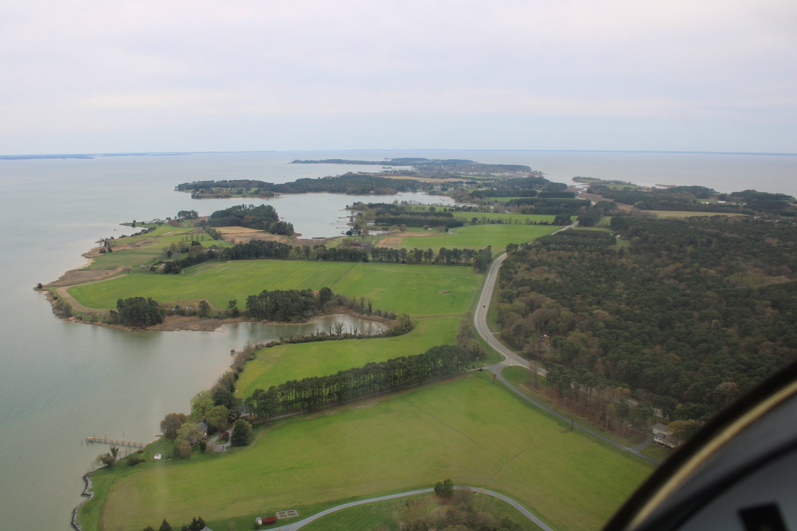
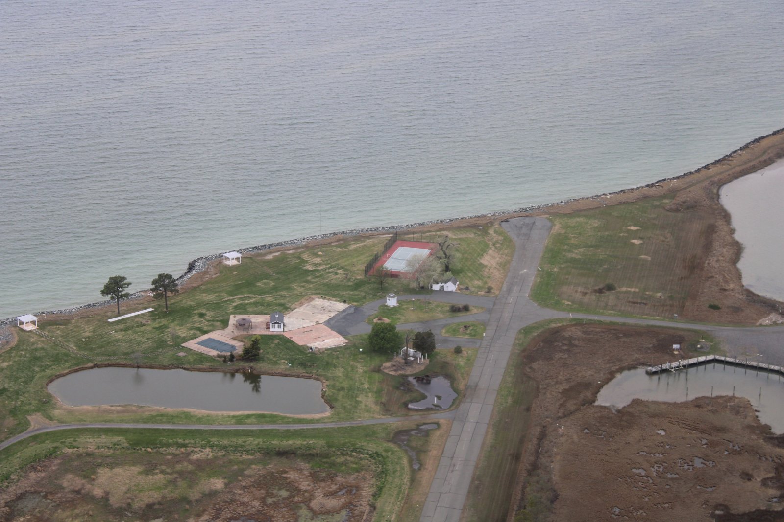
A private grass strip on St. Michaels island.
|
| |
 |
|
| A look at the private strip from another angle. |
| |
 |
|
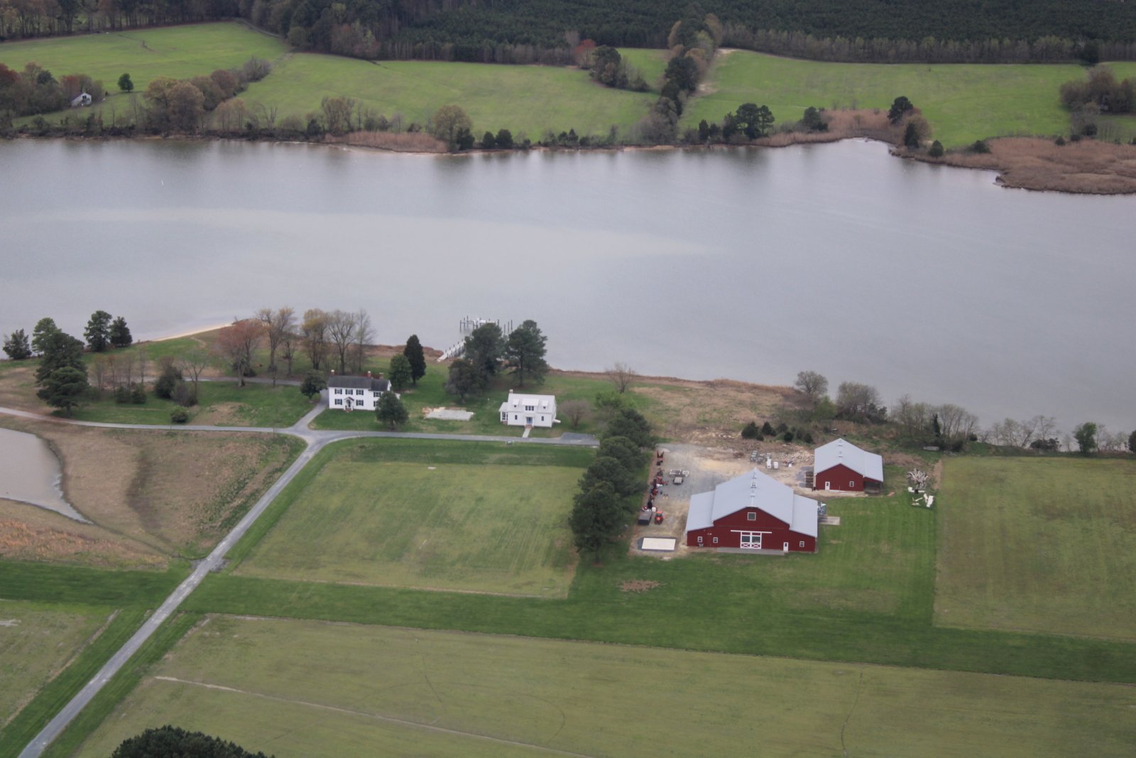
| Checking out the hangar. I guess it's a hangar. |
| |
 |
|
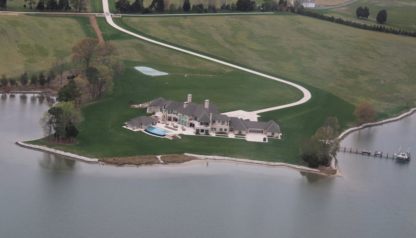
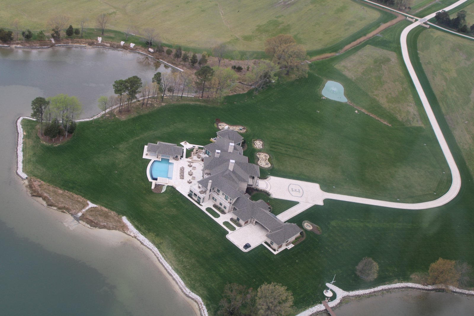
| Nice. |
| |
 |
|
|
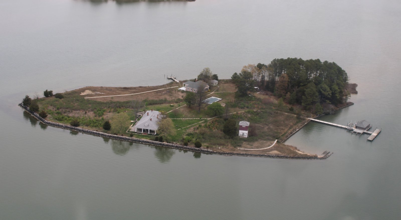
Deserving of a second look.
|
| |
 |
|
| Heading south towards Tilghman Island. |
| |
 |
|
|
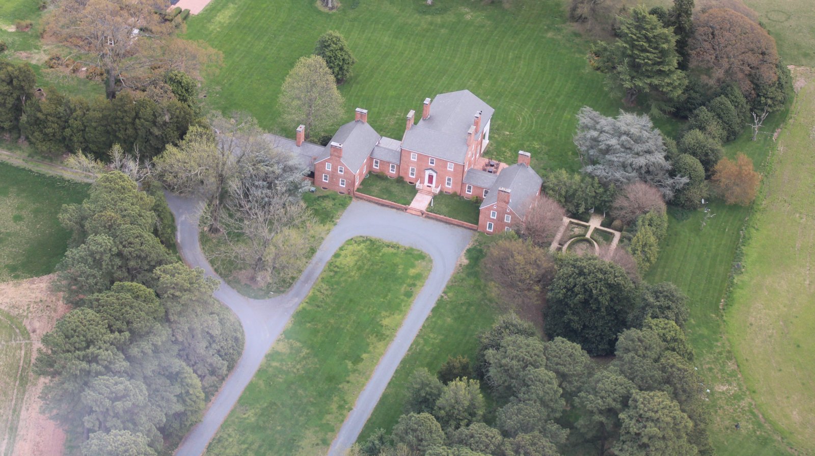
This home reminds me of the Governor's Palace at Colonial Williamsburg.
|
| |
 |
|
| There is a private grass strip just north of Tilghman Island. Can you see it? |
| |
 |
|
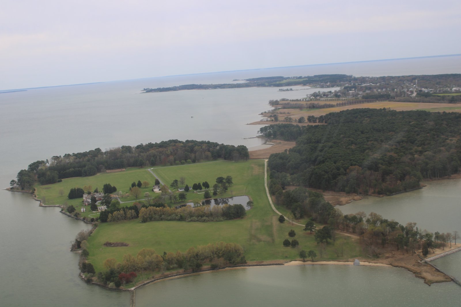
| A good shot of Tilghman Island. It really is an island. |
| |
 |
|
|
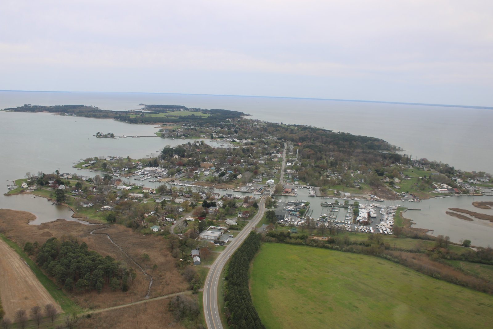
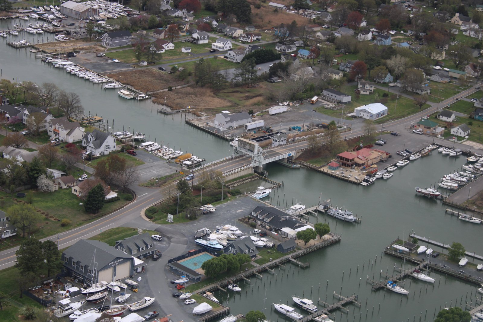
There's only one way to Tilghman Island: over that drawbridge.
|
| |
 |
|
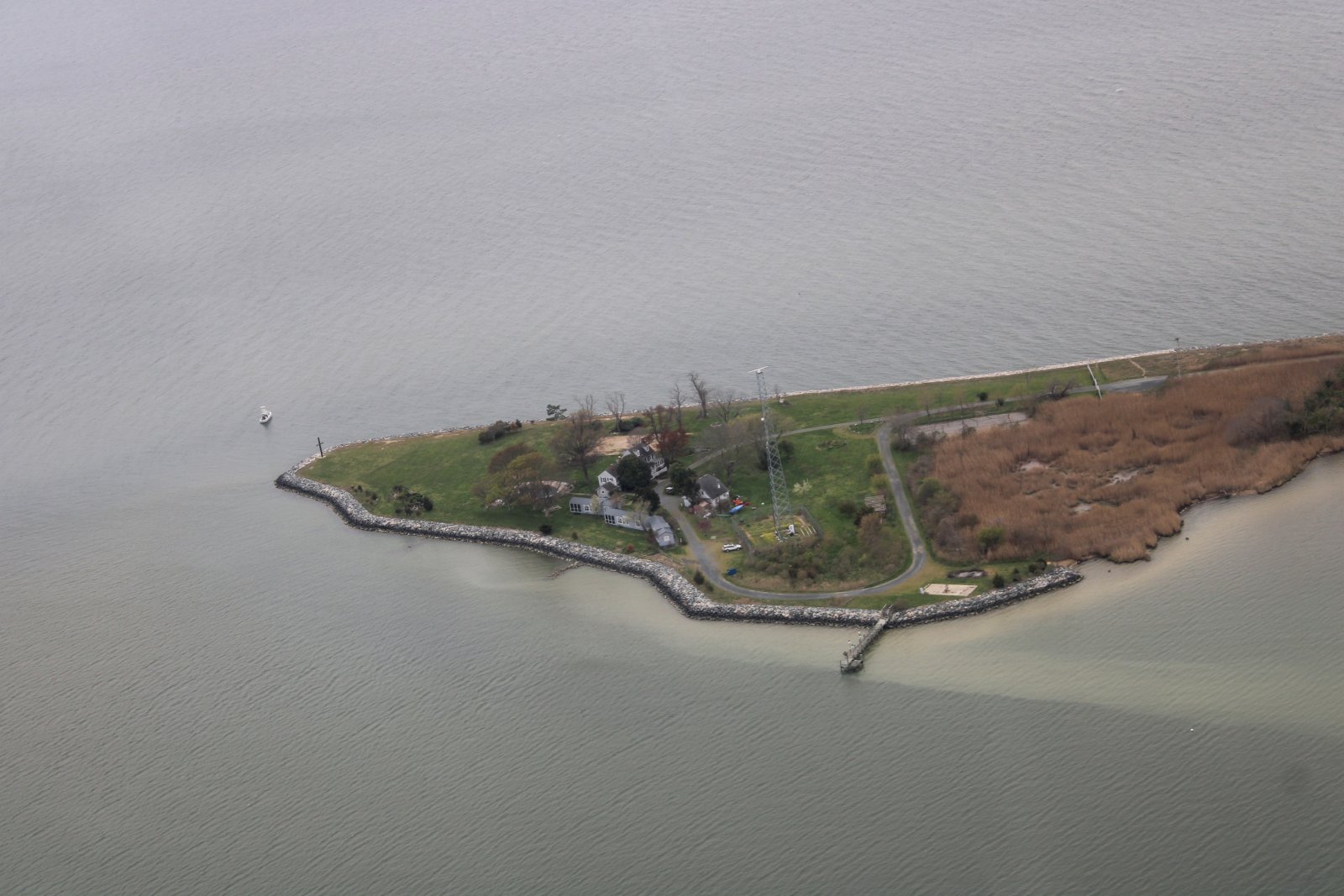
| The southern tip of Tilghman Island. |
| |
 |
|
|
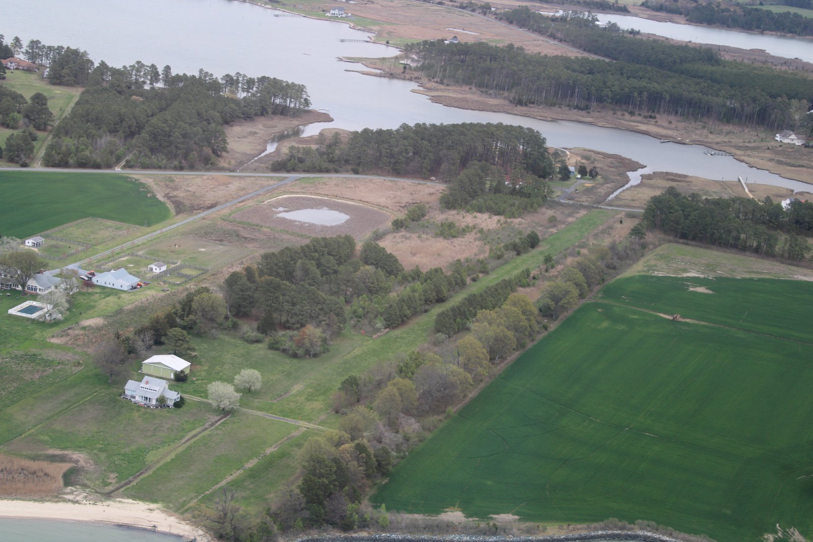
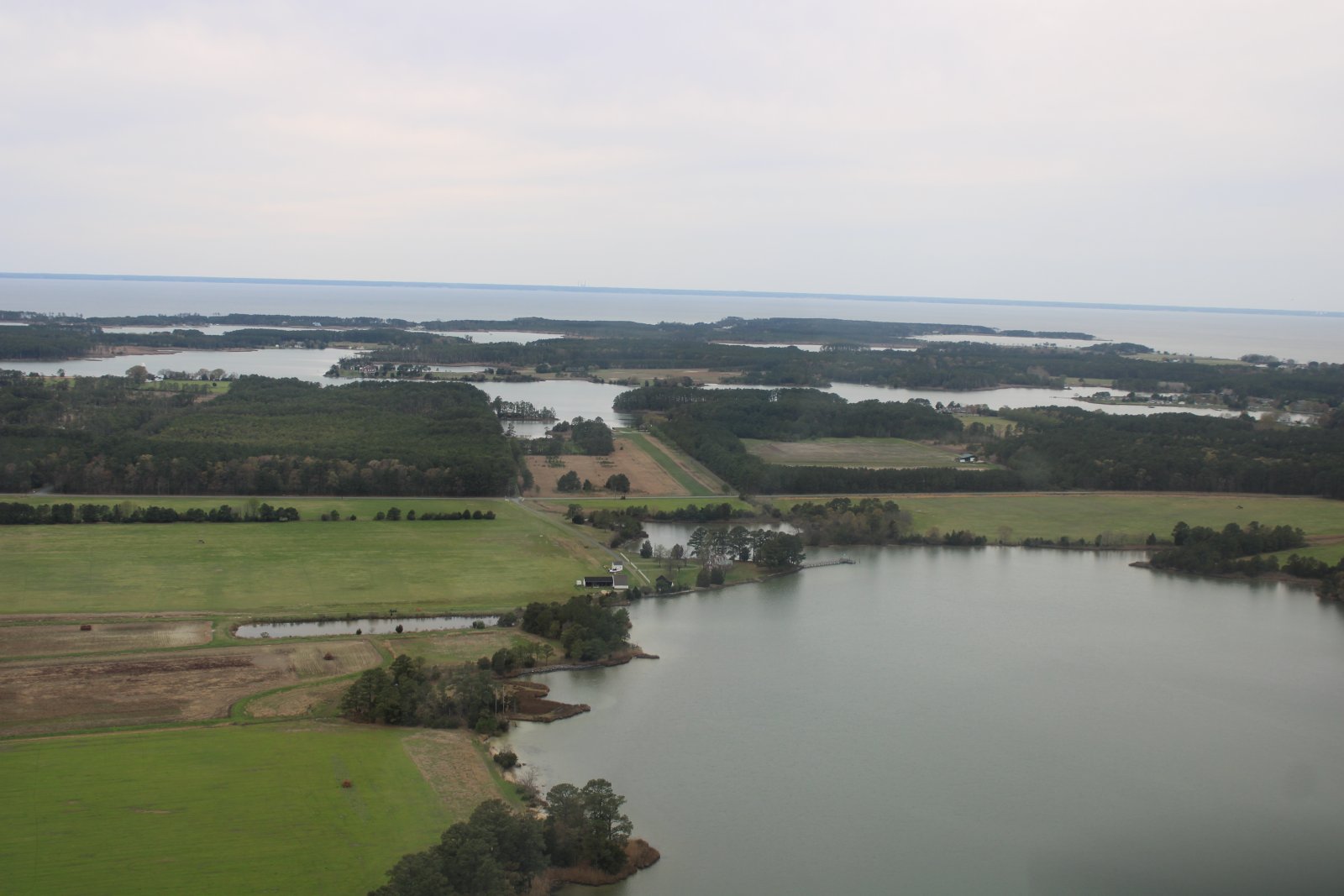
I cross the mouth of the Choptank River, heading south, and locate another private strip called Big Oak Farm.
|
| |
 |
|
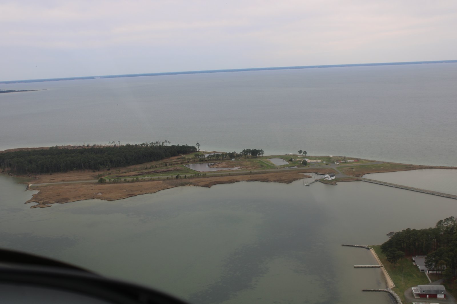
| Continuing south to Ragged Island, which has a private paved airstrip. |
| |
 |
|
| I don't think anyone lives on Ragged Island anymore. There used to be a big house where that three-pronged pavement area is, but it burned down. |
| |
 |
|
| Another little island where at least one family lives. Maybe two. |
| |
 |
|
|
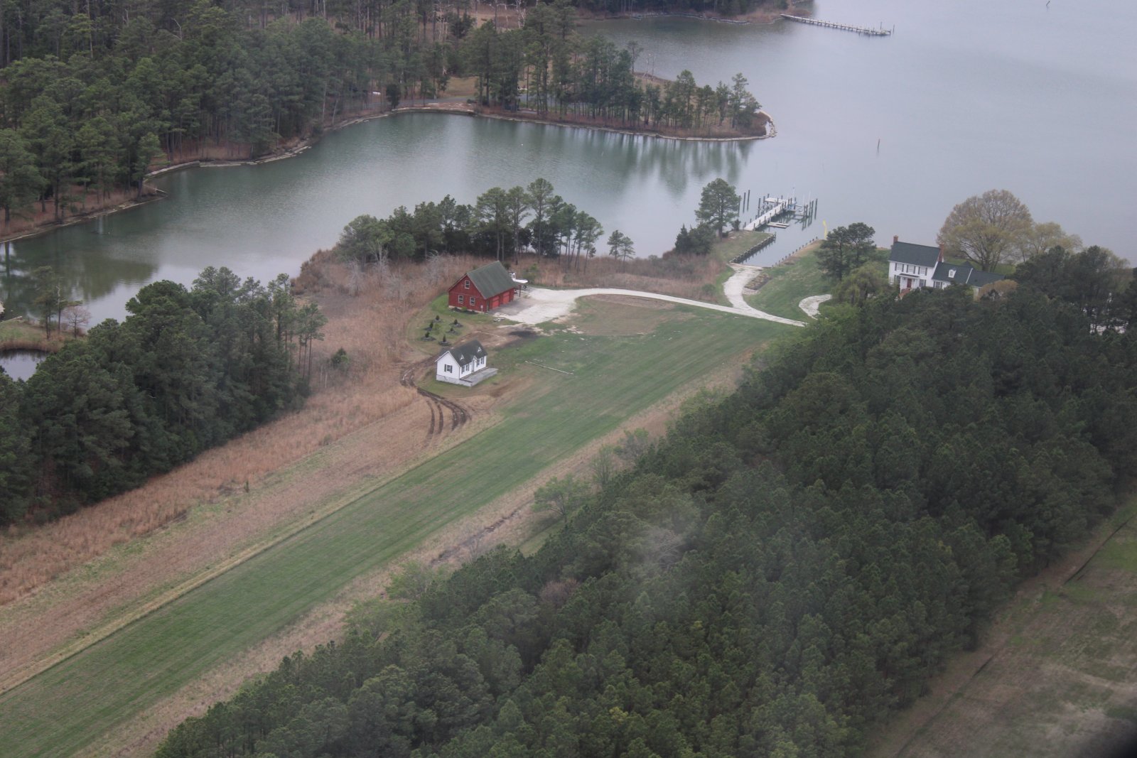
I check out another grass strip called Rossneck, just east of Big Oak Farm.
|
| |
 |
|
| Looking for a hangar. But in addition to the runway, it also had a dock, so that's good. |
| |
 |
|
|
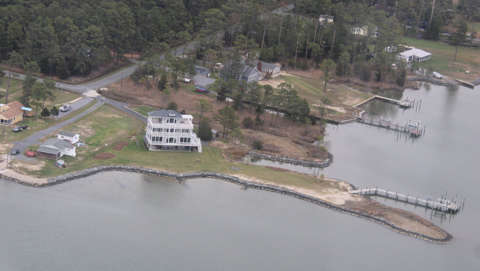
Some nice waterfront houses.
|
| |
 |
|
| Triple-decker! |
| |
 |
|
|
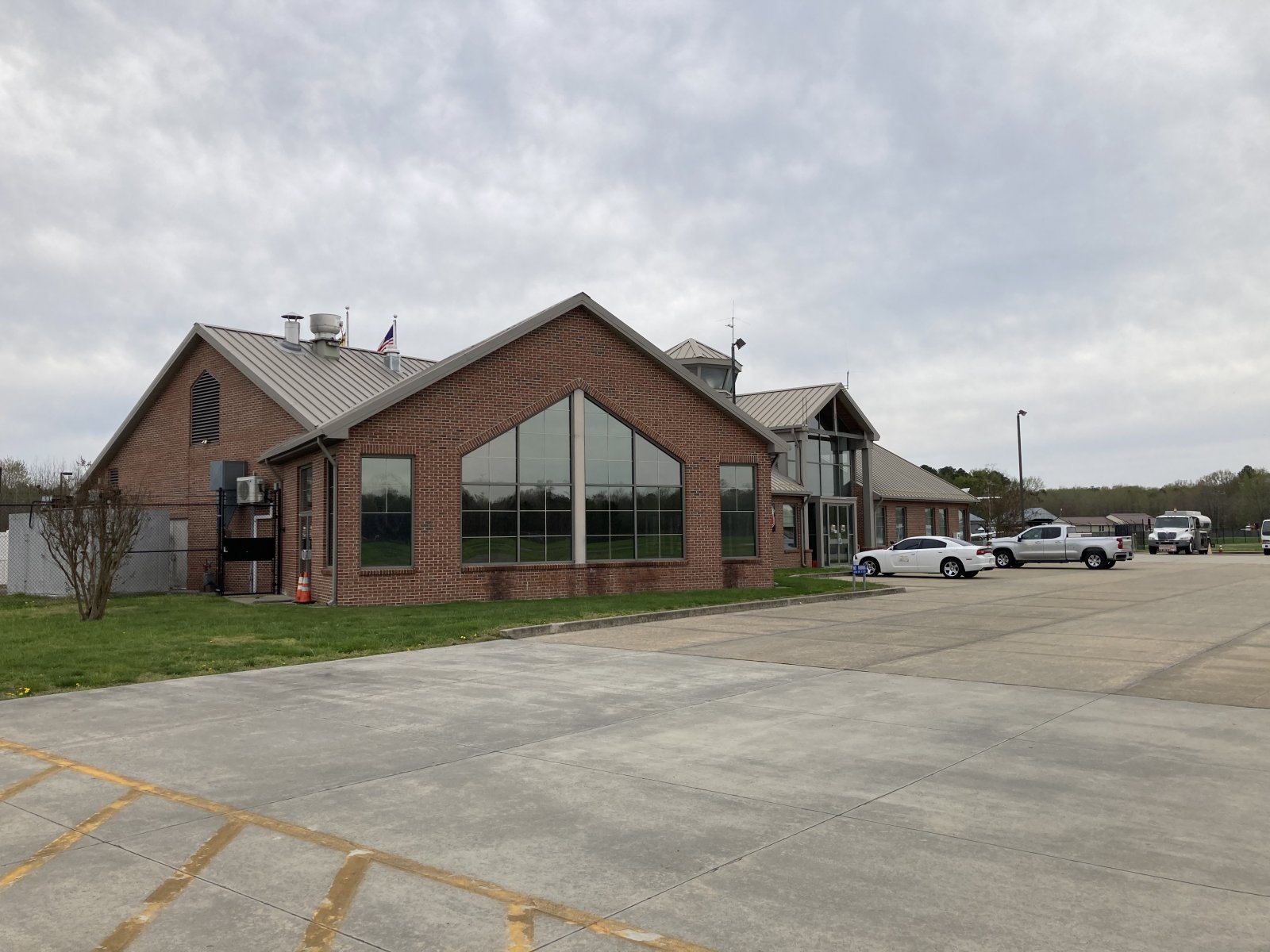
Cambridge was only a few miles to the east, I decided to stop in. If their avgas price was reasonable, I would buy some.
|
| |
 |
|
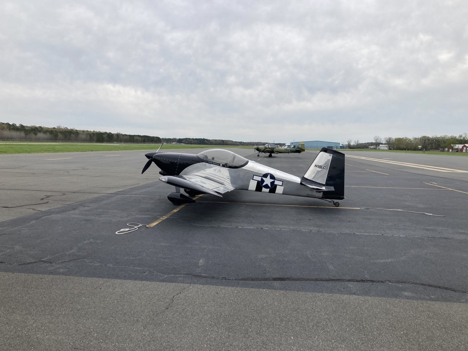
| I haven't been here in months but that German trainer plane with the bent prop is still parked on the ramp. |
| |
 |
|
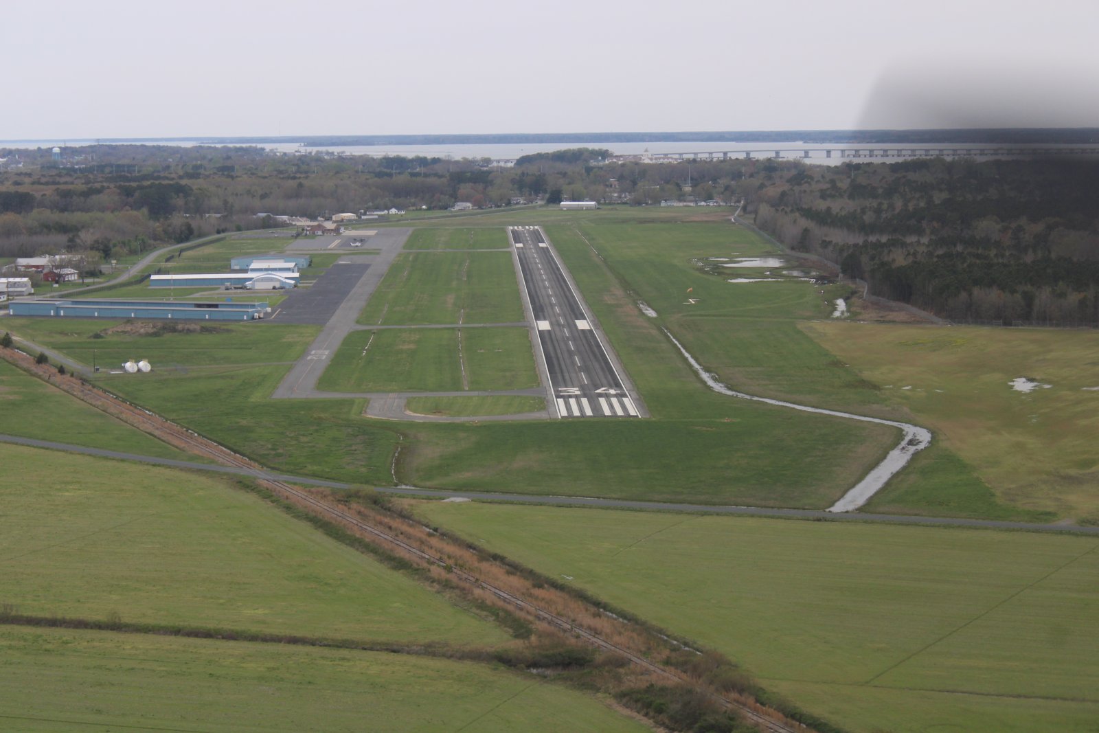
| Cambridge was deserted. The reason? The airport restaurant closed January 31st. |
| |
 |
|
|
Our favorite, go-to, restaurant -- Katie's at the Airport -- closed on January 31. The newly elected County Council told Katie's owner on January 10 that she had until the end of the month to vacate the premises. There was an issue of back rent being owed. I'm sure there is more to the story. But when I looked through the front windows, I could see the reality: the dining room was completely empty. All the aviation memorability on the walls and hanging from overhead -- gone.
The attendant told me the airport has been a ghost town since the restaurant closed. Supposedly bids have been solicited for a new restaurant to come in. I hope it happens, although I really liked Katie's. The food was good -- their crab cake was surprisingly good -- the staff was very friendly, and the prices were just right.
The avgas price was almost the same as my home airport so I filled up.
|
| |
 |
|
|
After taking off from Cambridge, I flew east a short ways to the head of the Transquaking River and flew it south.
|
| |
 |
|
| |
| |
 |
|
|
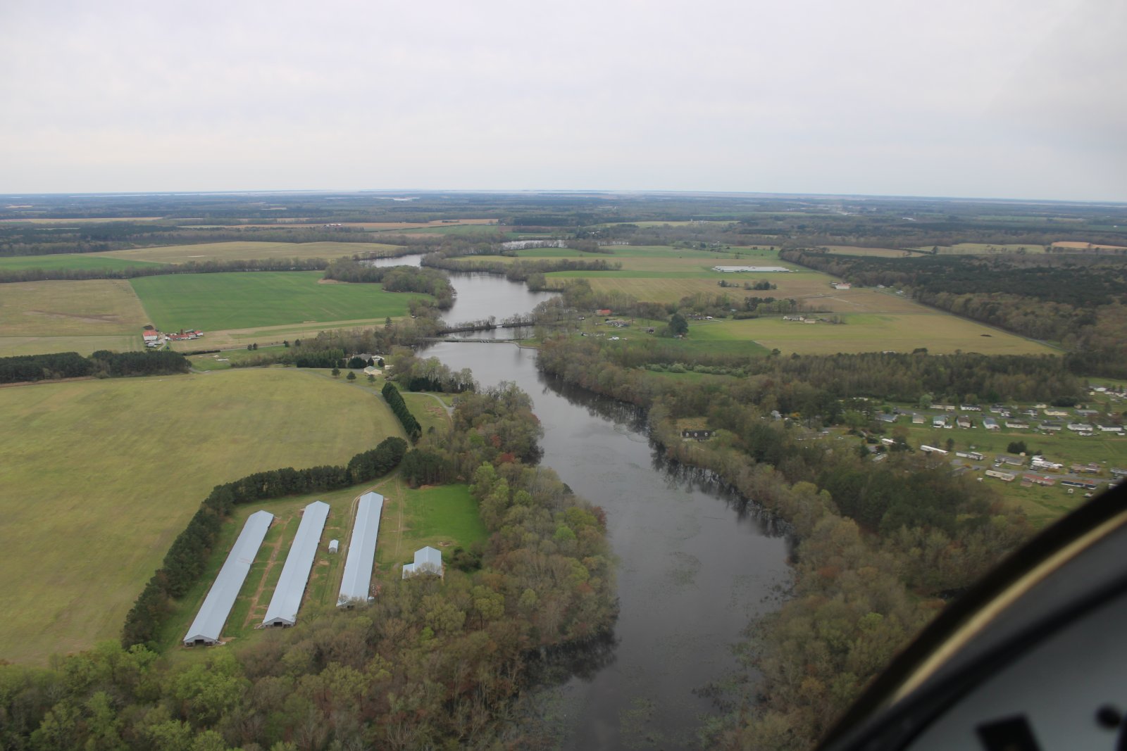
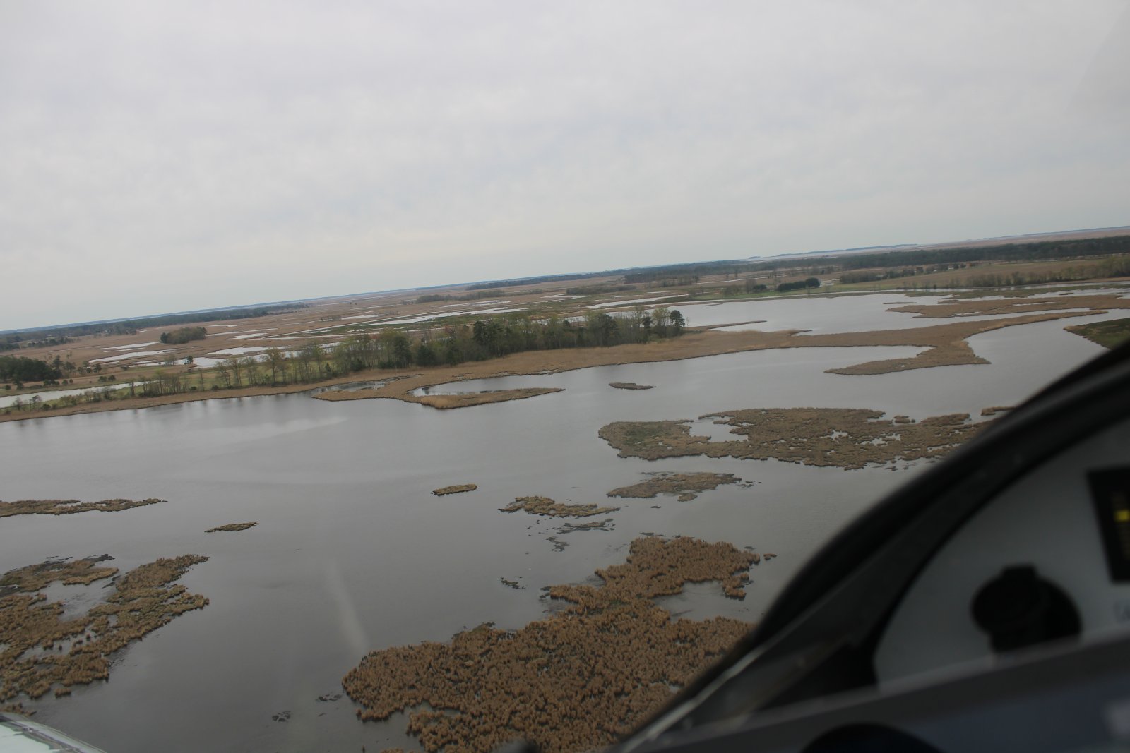
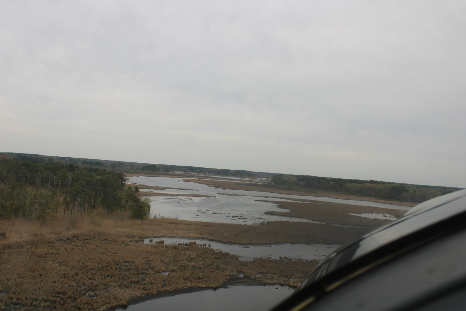
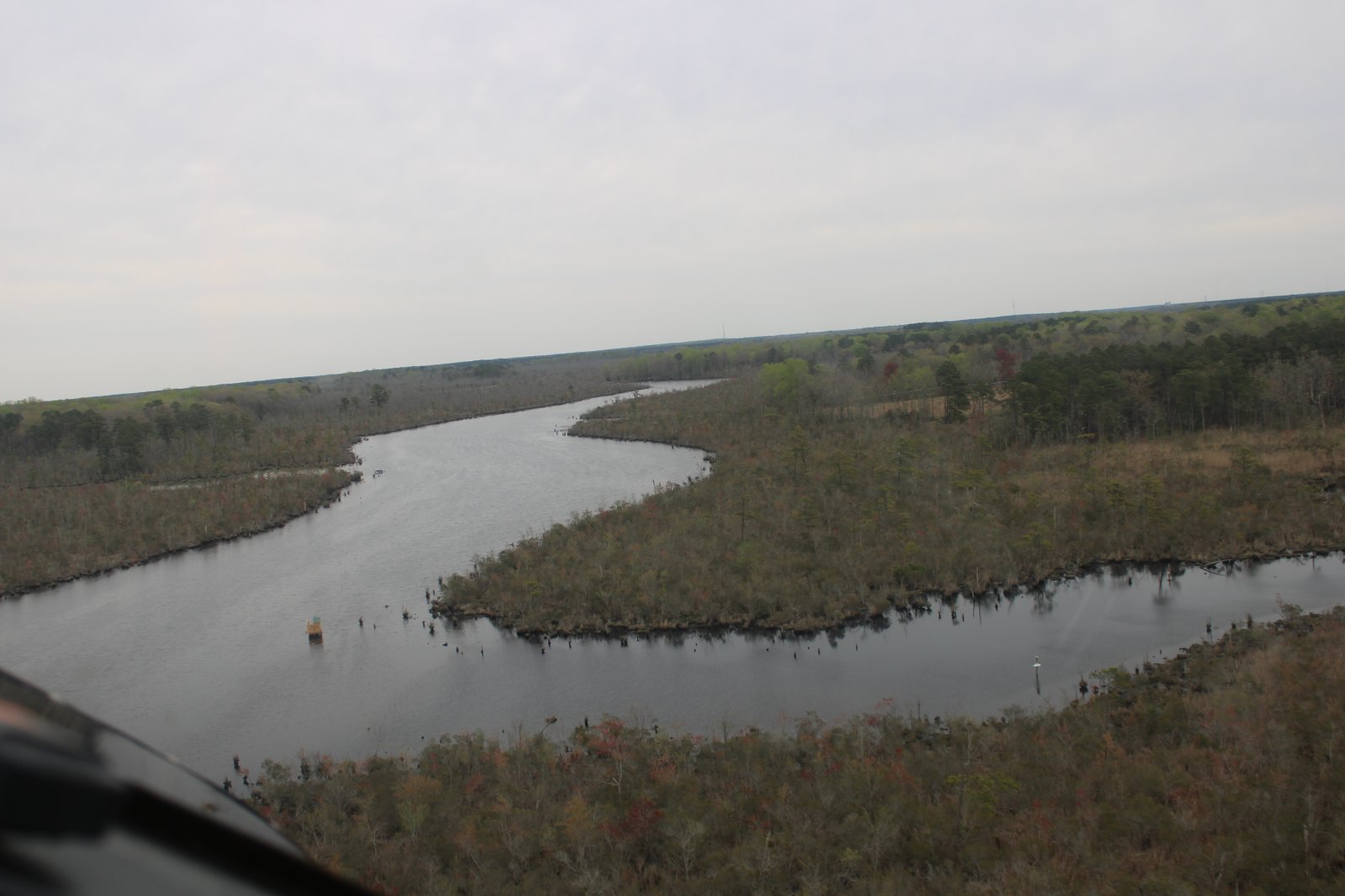
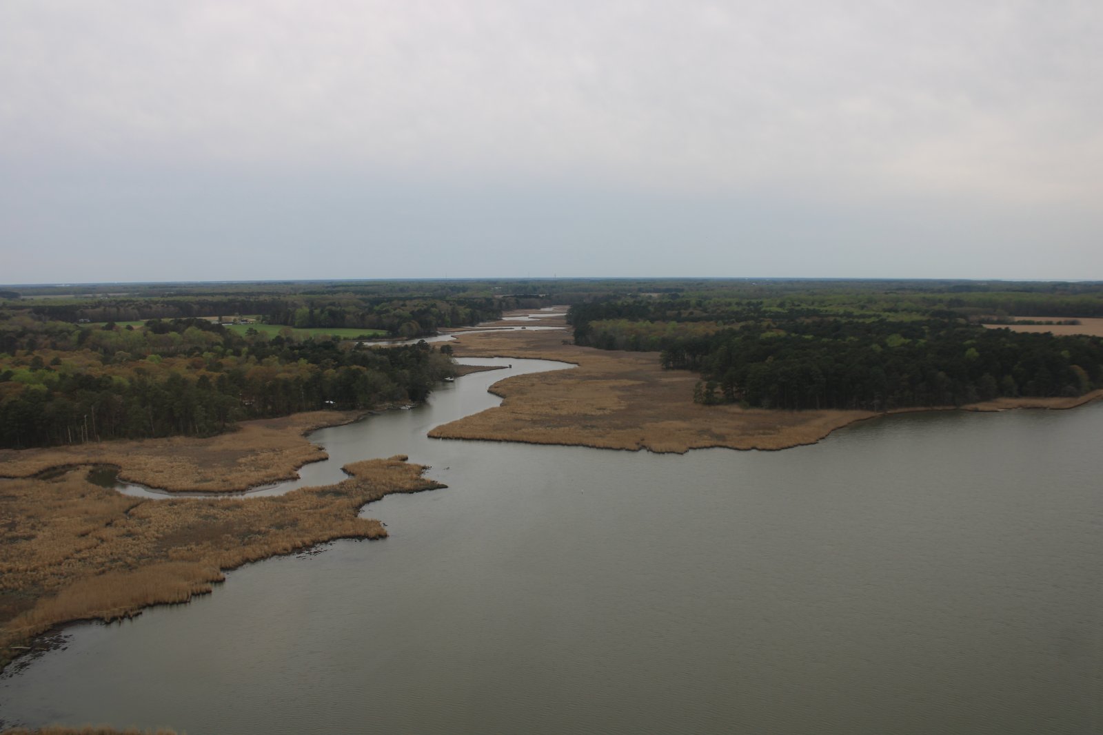
The Transquaking River opens up into a huge marsh area.
|
| |
 |
|
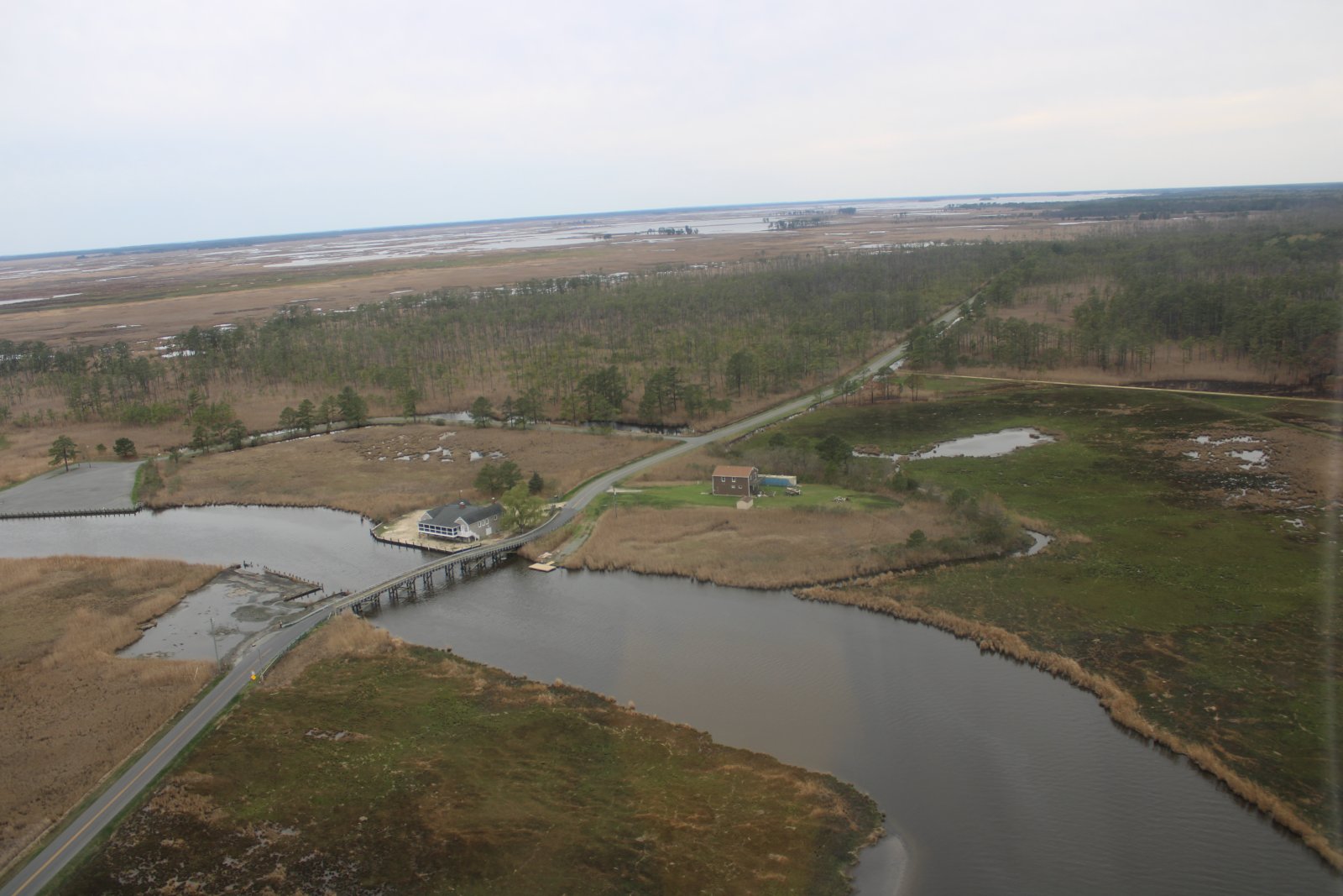
| Passing by the Bestpitch Ferry Road. |
| |
 |
|
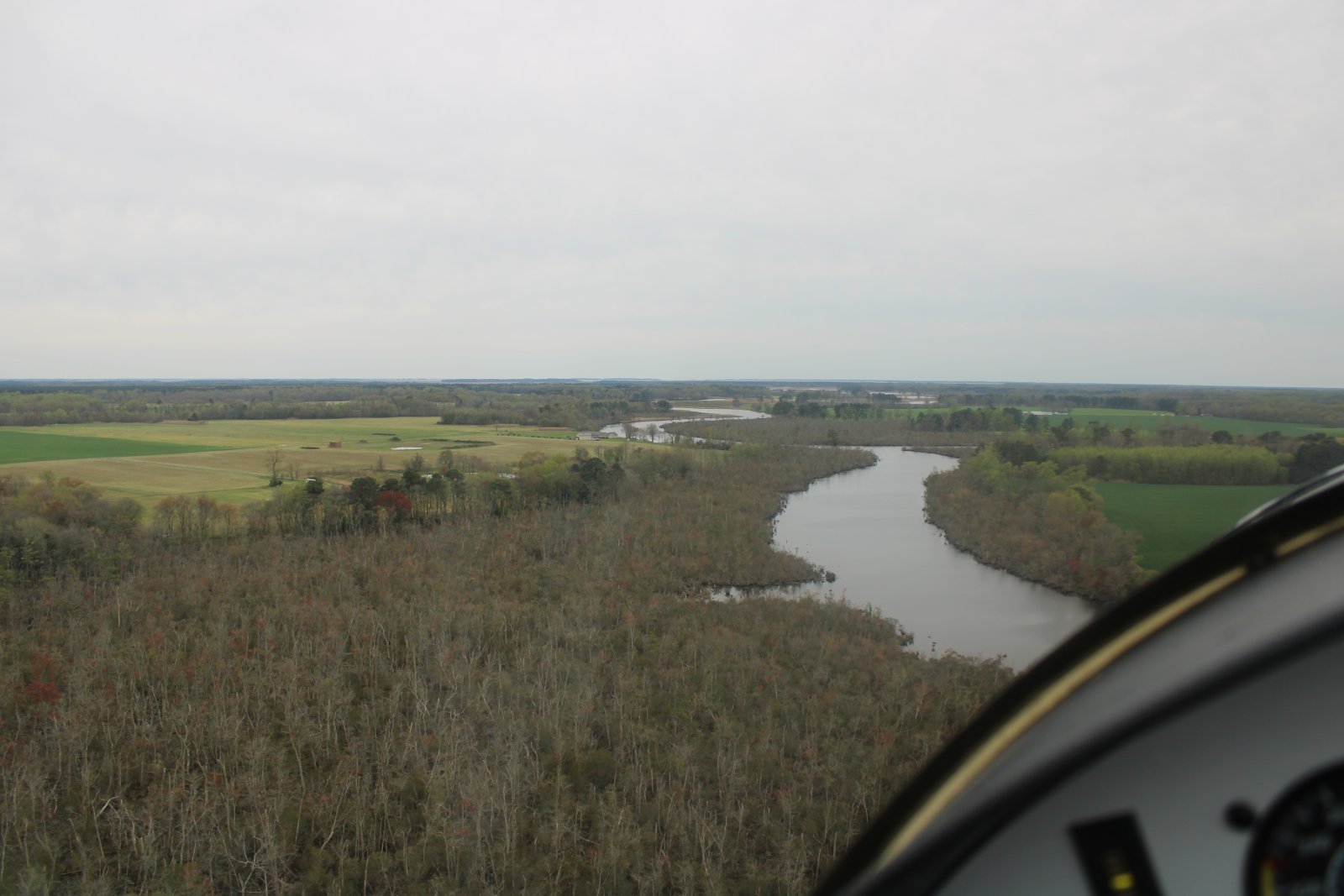
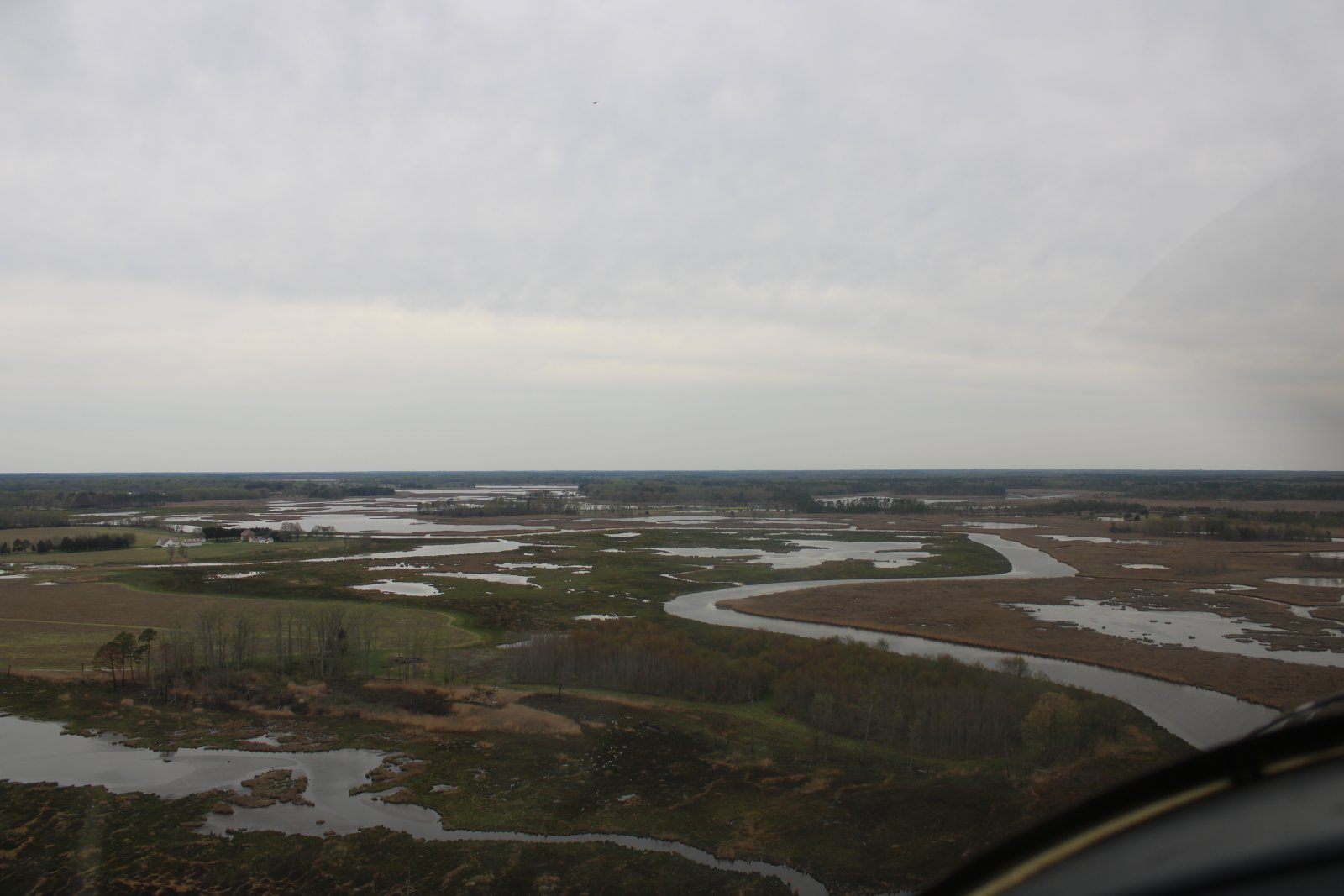
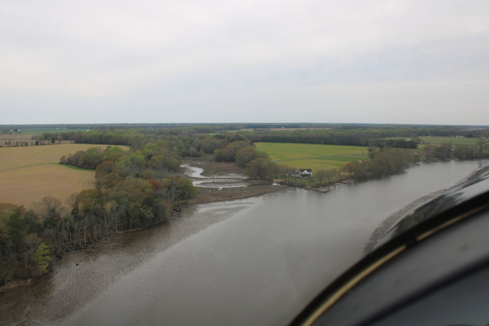
| I headed east following the Chicamacomico River. |
| |
 |
|
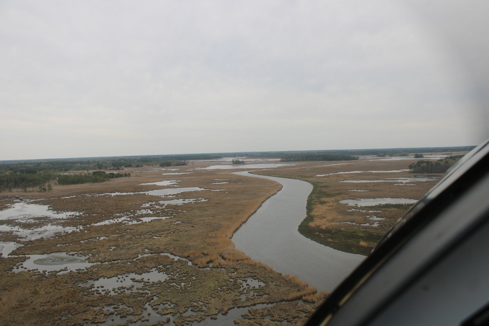
| Fun to fly the river through the marsh. |
| |
 |
|
| |
| |
 |
|
|
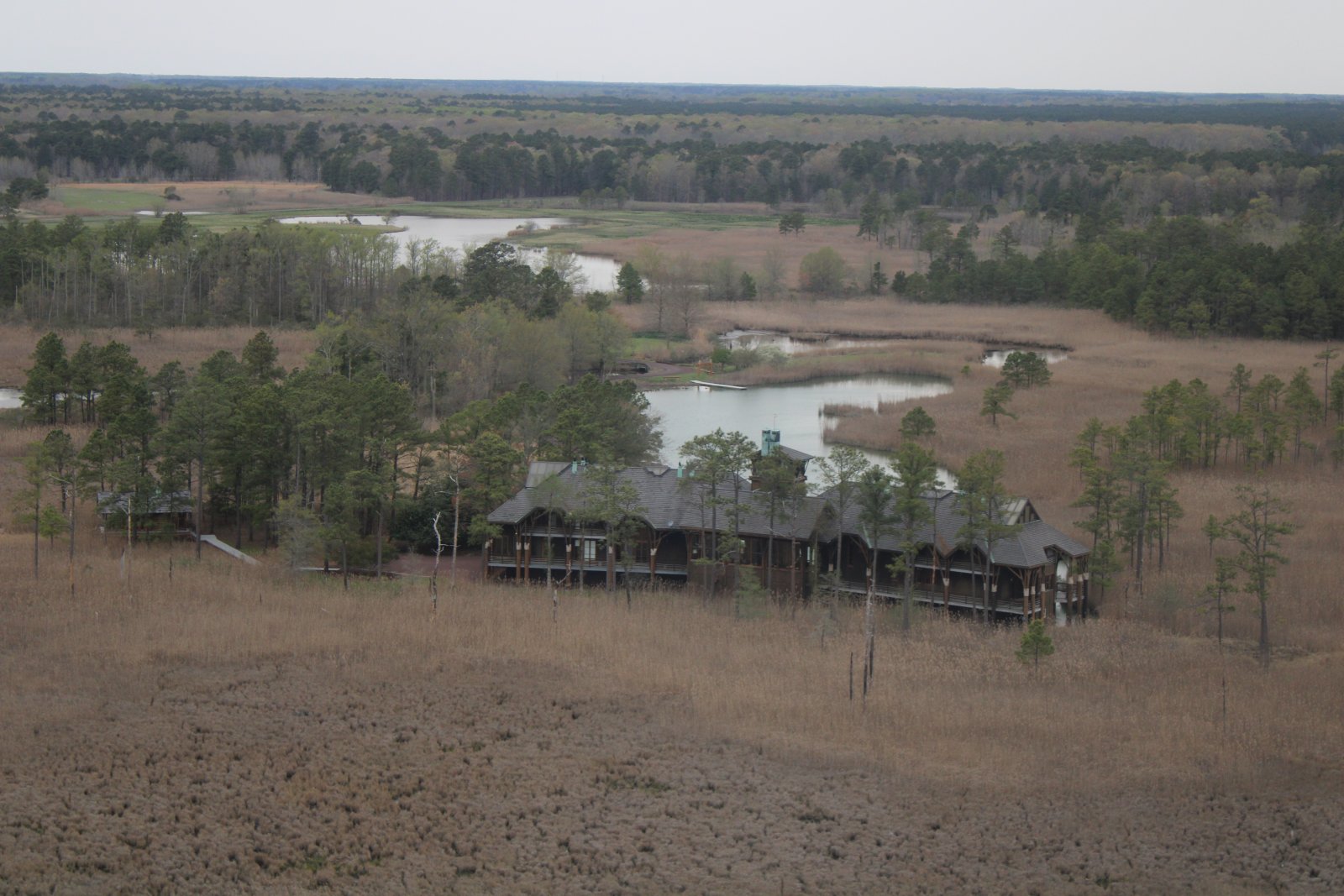
I passed near this lodge, or gigantic house all by itself in the marsh.
|
| |
 |
|
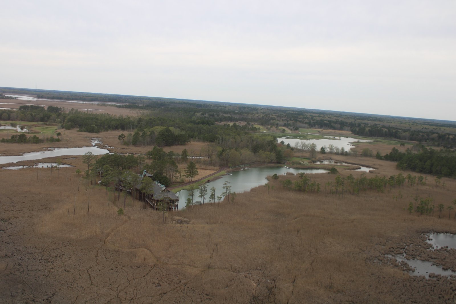
| Looking back at the lodge. |
| |
 |
|
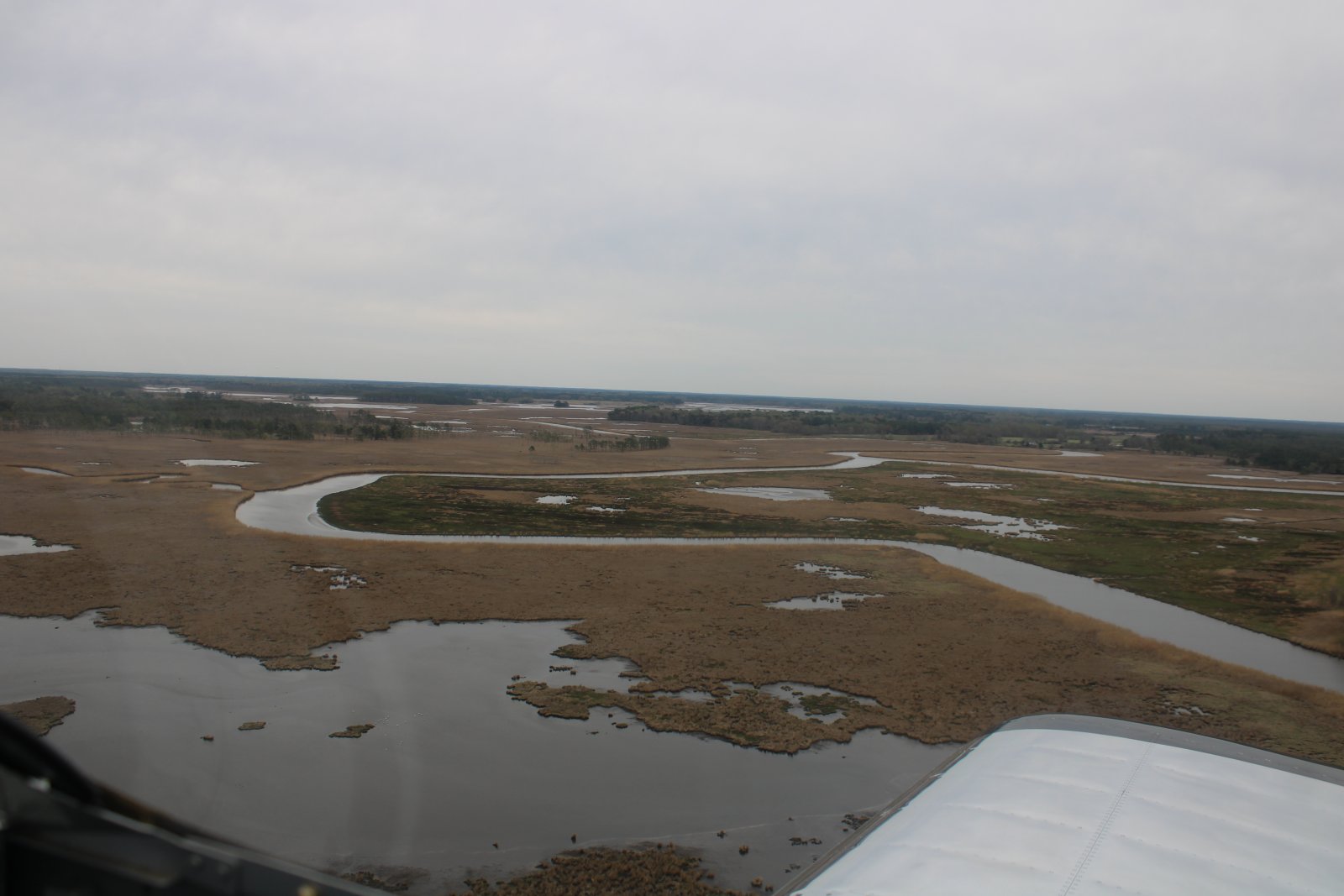
| Continuing on. |
| |
 |
|
|
The river turns north. I don't know if I've ever flown this one before.
|
| |
 |
|
|
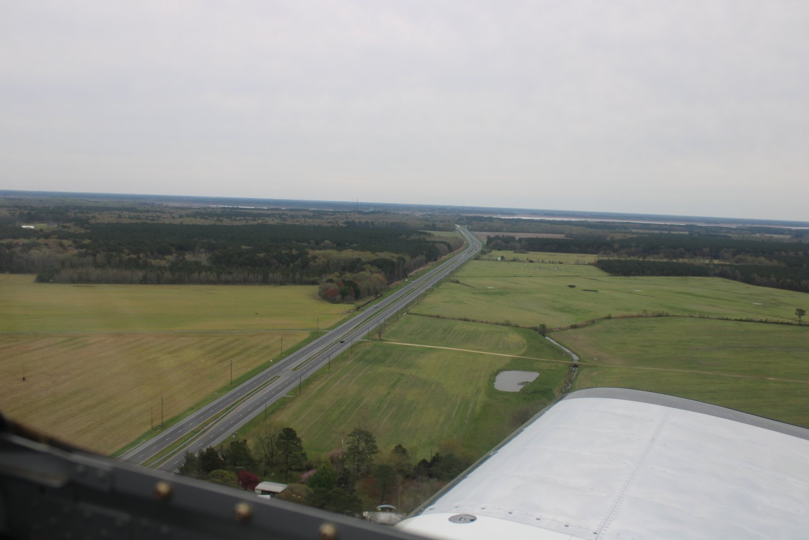
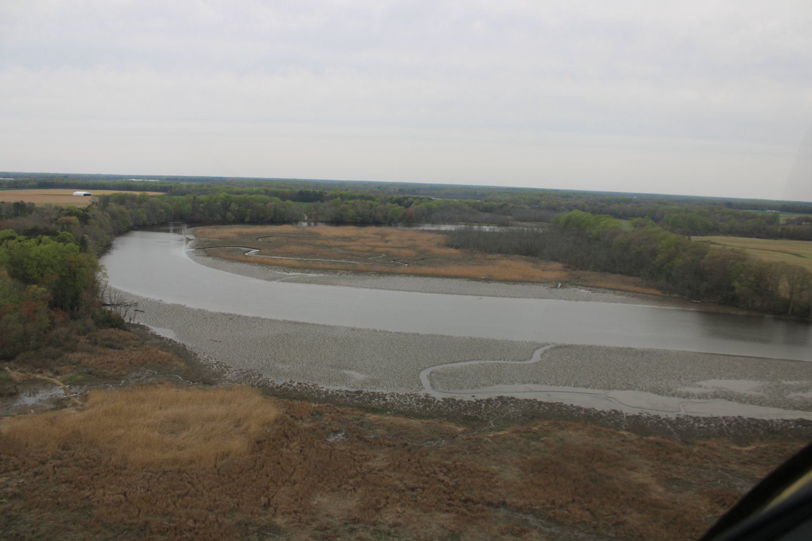
Eventually the river crosses Highway 50. Looking east, you can see the Nanticoke River running left to right.
|
| |
 |
|
| The Chicamacomico River peters out north of Highway 50. |
| |
 |
|
|
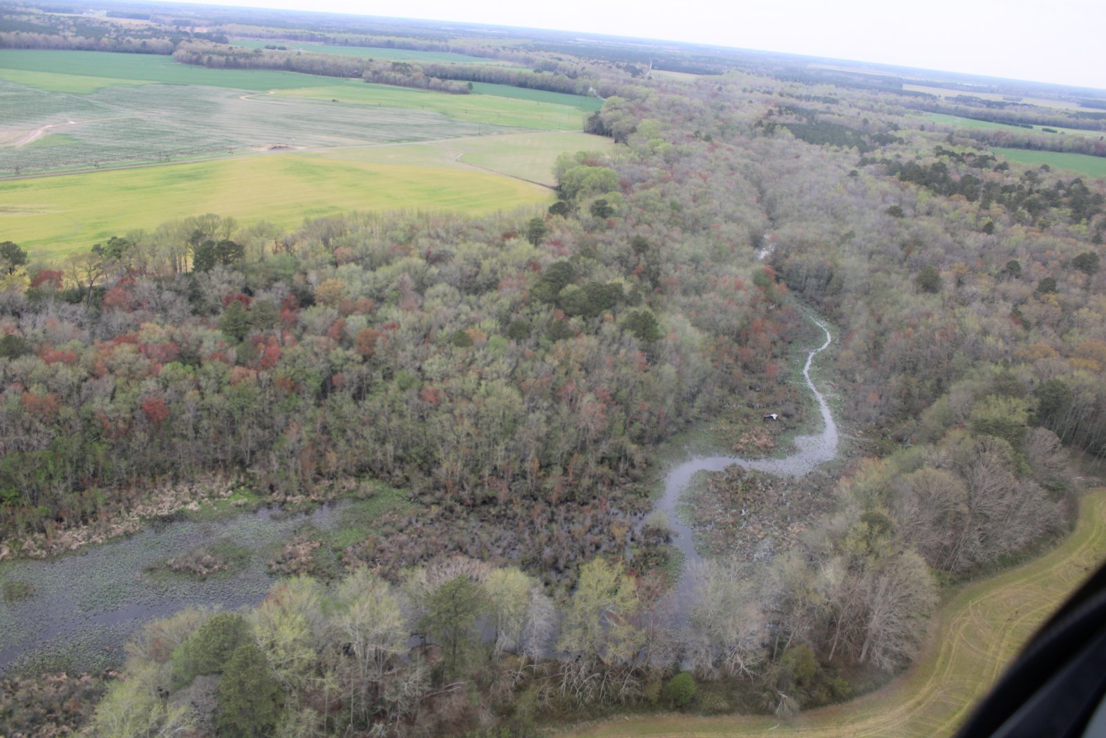
At this point I can hardly see the river but I know where it is because of the trees and their color.
|
| |
 |
|
| Now I'm just following the tree-river path. |
| |
 |
|
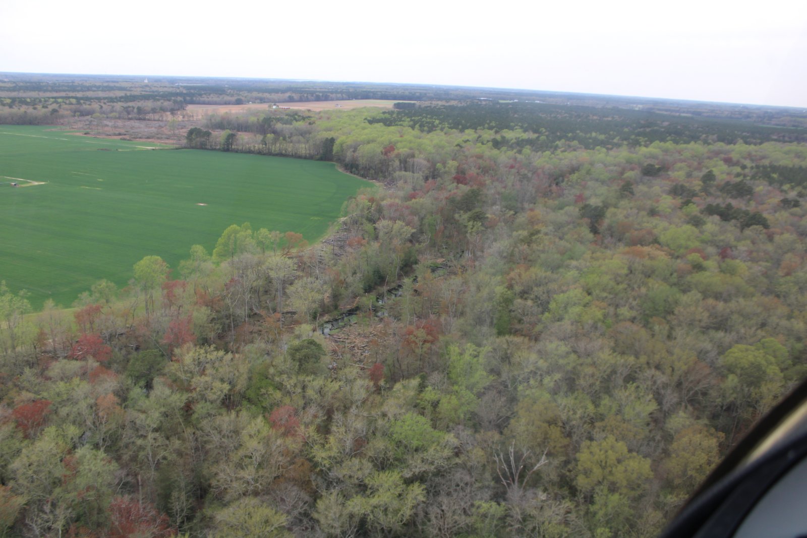
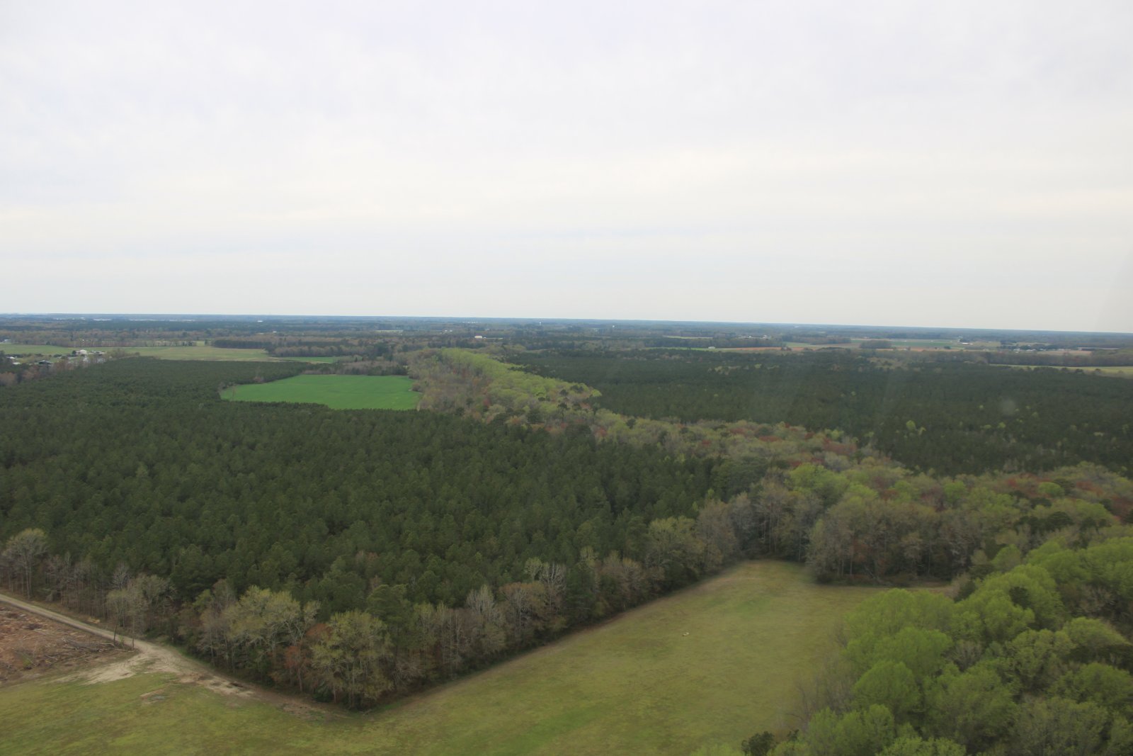
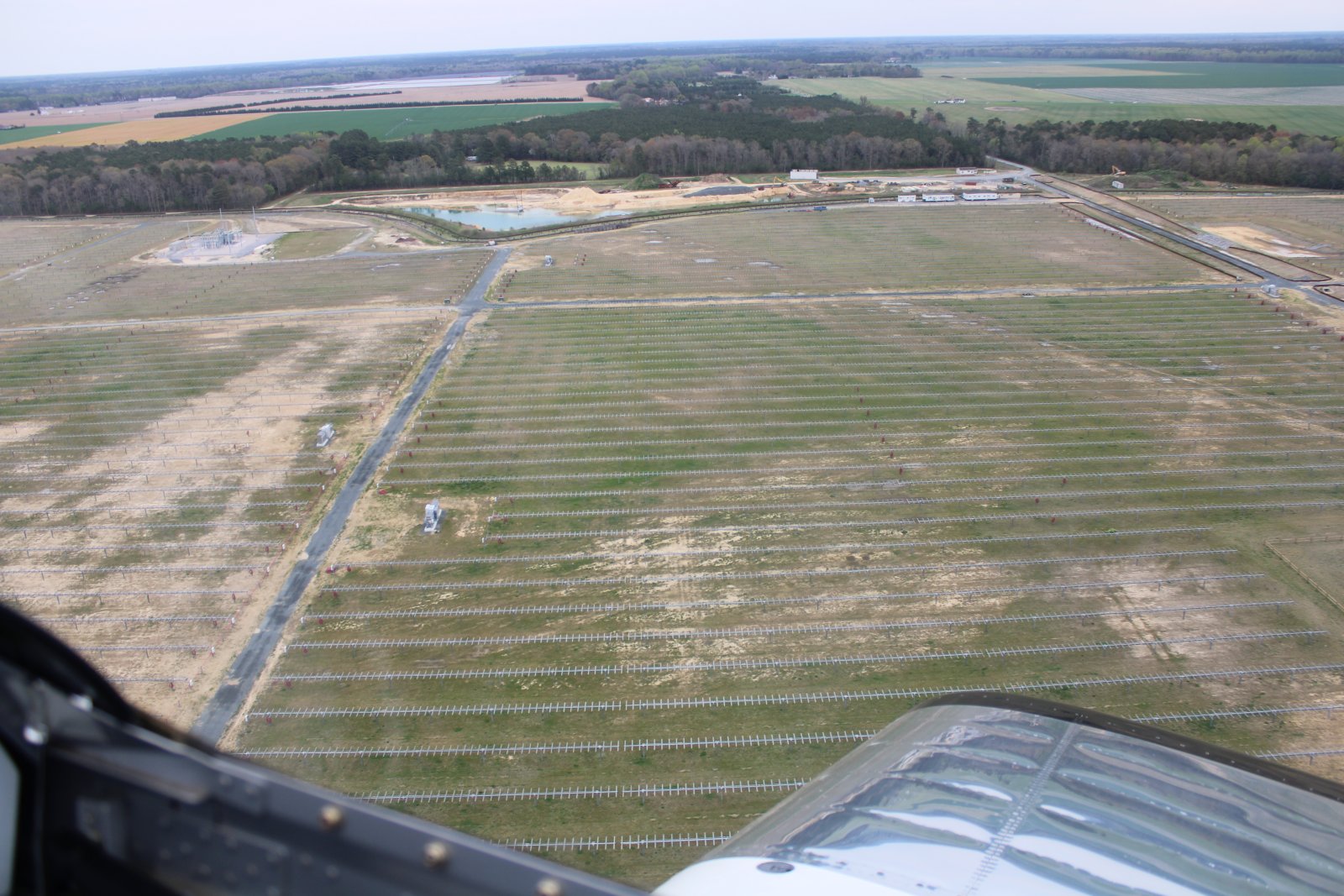
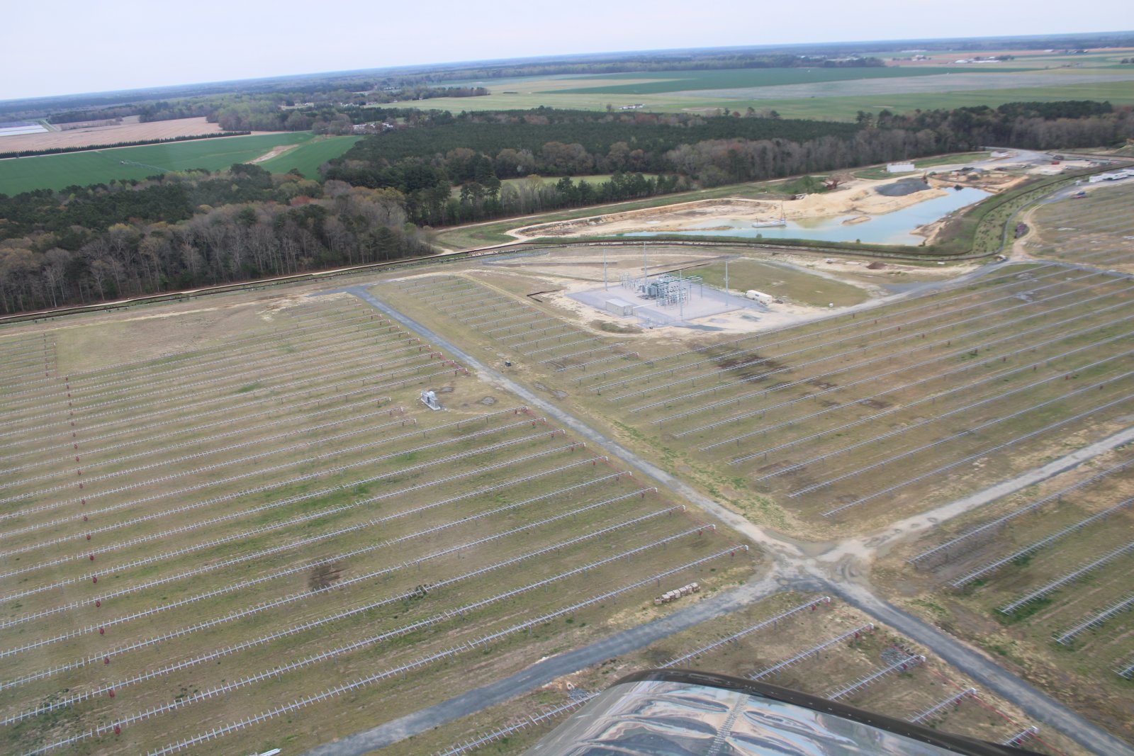
| I gave up on the river and continued north. I flew over this large field and couldn't figure out what that grid thing is down there. Is it a solar panel farm not yet completed? |
| |
 |
|
| Who knows? |
| |
 |
|
|
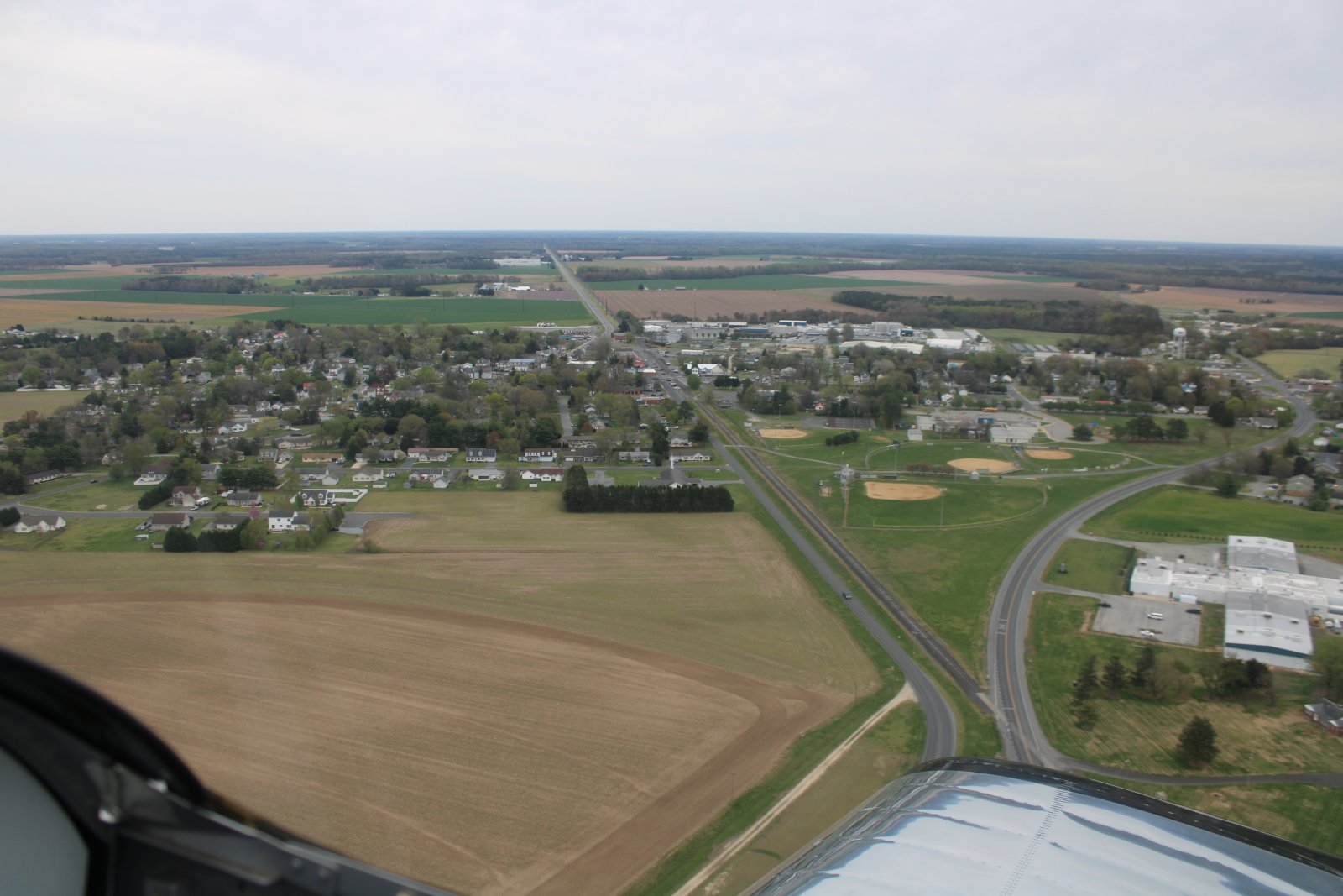
Passing by the little town of Hurlock. Never been there. Never even heard of it.
In the 2010 census, there were 2,092 people living in Hurlock. The town was named after John M. Hurlock, a local store owner. The community was incorporated in 1892.
|
| |
 |
|
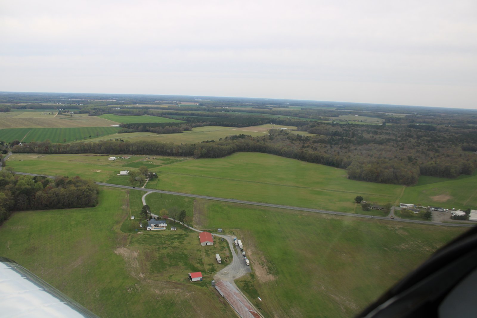
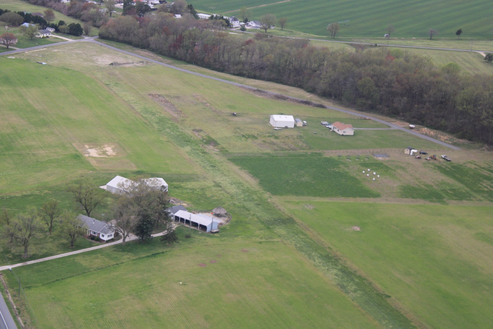
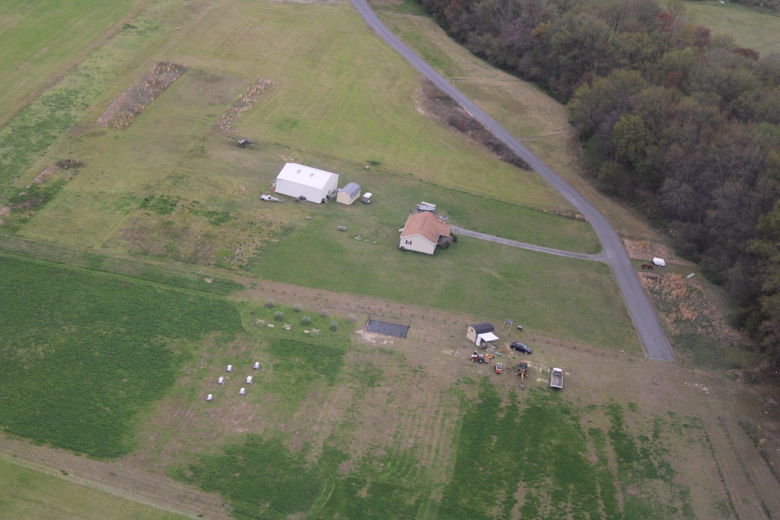
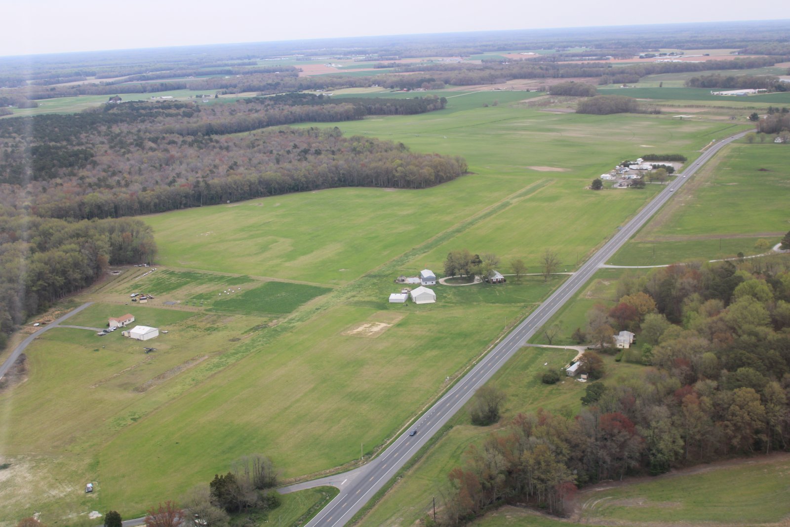
| Approaching Magennis Farm Airport, a little airport community. I know some people who live there. |
| |
 |
|
|
A closer look at Magennis.
|
| |
 |
|
| |
| |
 |
|
| |
| |
 |
|
| Now headed up the Choptank River, passing by a little creek offshoot. |
| |
 |
|
|
|
| |
 |
|
| I get off the Choptank and on to Tuckahoe Creek. |
| |
 |
|
|
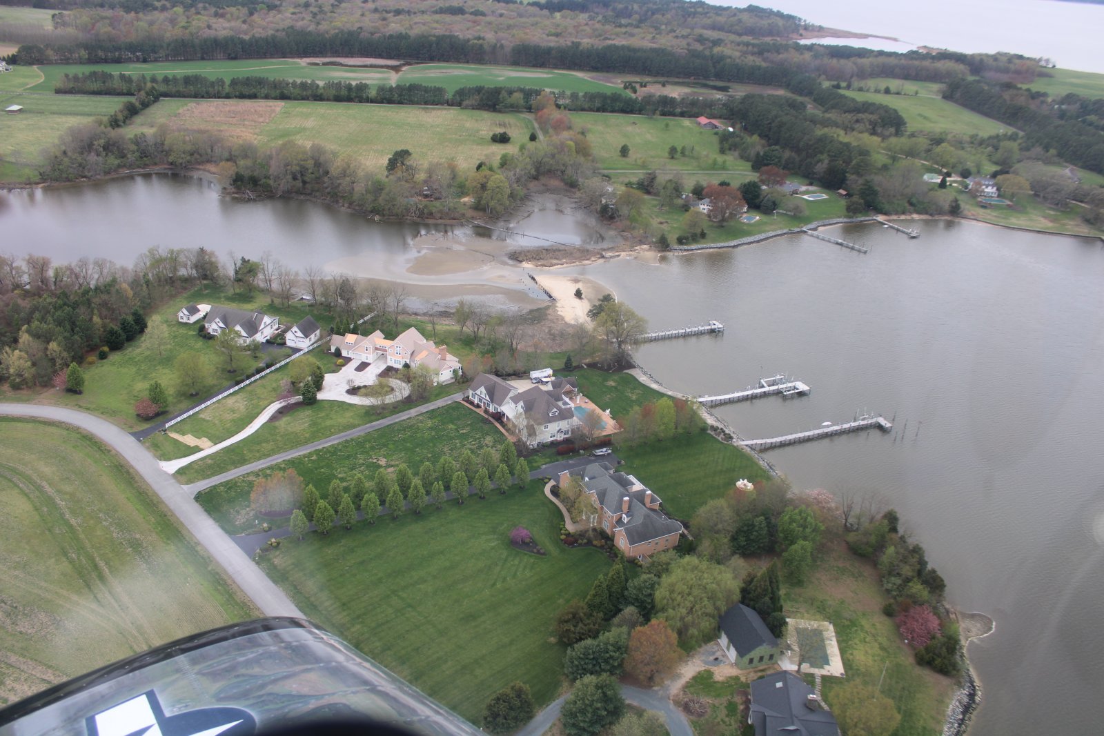
Passing by some nice waterfront homes.
|
| |
 |
|
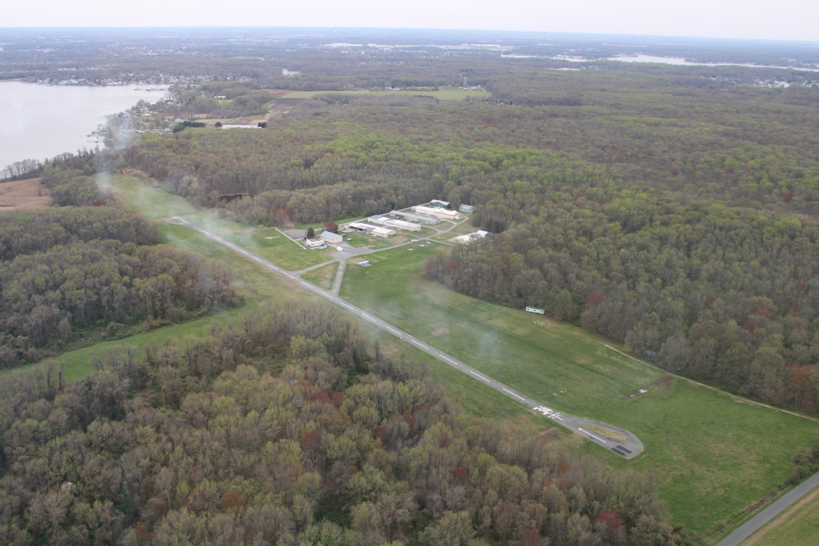
| And there is Essex Skypark. Looks like someone smoked the field. |
| |
 |
|
| |
| |
|
|
|
|
|
|